Drone pet and dog recovery
A missing dog covers ground faster than you can search it. Thermal from the air clears timber, pasture and creek bottoms in minutes — day or night, year round, across three states.
The first day matters more than the next five
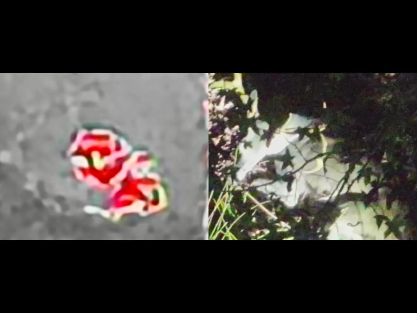
Lost dogs rarely run in a straight line. They hole up — under a deck, in a brush pile, in a culvert, in the fence row of a pasture you already drove past twice. Those are exactly the places a person walking cannot see into and a thermal camera can, because a living animal is warmer than everything around it.
We fly a search pattern outward from where the animal was last seen, prioritizing the cover types dogs actually choose, and we work the hours that give thermal its best contrast — early morning and after sundown. Cats, livestock guardians, hunting hounds and farm dogs are all routine work.
It is not magic. Heavy canopy in the middle of a hot afternoon is the hardest case, and we will tell you that on the phone rather than sell you a flight that will not work. When conditions are right, one flight often does what a week of flyers cannot.
What the flight includes
How a pet search runs
Call with details
Last seen where and when, breed and size, whether the animal is friendly to strangers.
Map the pattern
We build a search area from likely travel distance and the cover around it.
Thermal sweep
Systematic passes at altitude, hot spots checked on optical zoom.
Ground recovery
You get coordinates and guidance in — a scared dog is best approached by its own people.
Other services
Deer Recovery
Thermal search for wounded or dead whitetail when the blood runs out.
Deer Herd Analysis
Ratio, recruitment and total-animal counts for clubs and leases.
Cattle & Sheep Inventory
Documented whole-pasture headcounts flown with thermal.
Serving Northwest Arkansas, Southwest Missouri and Northeast Oklahoma — see the full coverage map or read the FAQ.
Dog missing right now?
Do not wait for daylight. Cooler ground after dark is when thermal works best.