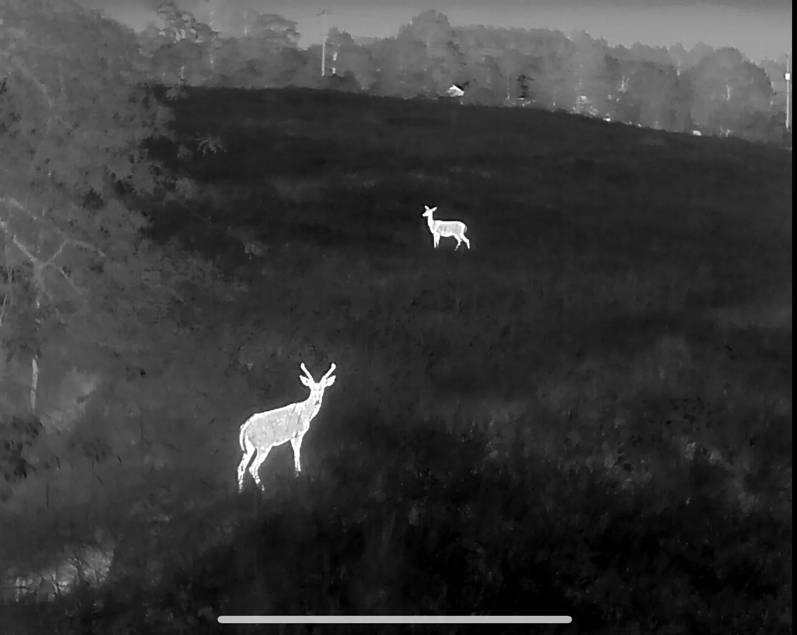
Drone deer recovery in Bentonville & Rogers, AR
Benton County is home ground. Thermal deer recovery, pet searches and herd surveys across Bentonville, Rogers, Bella Vista, Centerton and the Beaver Lake corridor — usually airborne the same night you call.
Primary service area · typical launch within 1–2 hours
The most hunted, most developed ground in the state — and the trickiest to search
Benton County hunting looks nothing like it did fifteen years ago. Subdivisions push right up against timber, small parcels are cut by roads and greenway trails, and a deer that runs 300 yards can cross two property lines and a fence row. That mix is exactly where a ground search stalls out and an aerial thermal search earns its money.
We fly Bentonville, Rogers, Bella Vista, Centerton, Cave Springs, Lowell and the Beaver Lake shoreline properties regularly enough to know the cover: cedar thickets on the ridges, hollows draining toward the lake, and thick creek bottoms along Osage and Spring Creek. Being based here means the aircraft is often overhead before a hunting party has finished arguing about which way the deer went.
Because this is a built-up area, airspace matters. Part of Benton County sits under controlled airspace tied to Northwest Arkansas National Airport, which requires authorization to fly legally. A Part 107 pilot can request that authorization. An uncertified hobbyist flying your recovery cannot — and that is your liability, not just his.
Towns and communities covered
Nearby service areas
Fayetteville & Springdale
Harrison & Berryville
Fort Smith & Van Buren
Joplin & Neosho
See the full coverage map. We do not fly recovery in Kansas — it is not permitted there.
Lost a deer in Benton County?
Call or text and we will tell you straight whether a flight makes sense tonight.