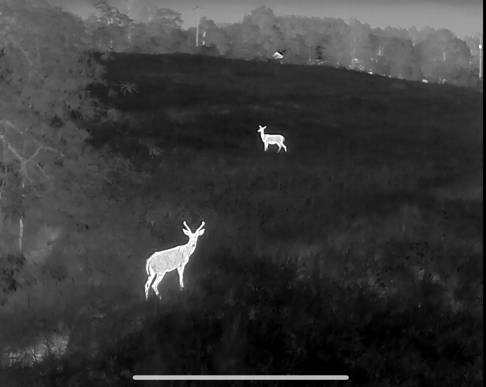
You shot it. We’ll find it.
Professional thermal drone recovery for wounded deer, lost dogs and missing livestock across Northwest Arkansas, Southwest Missouri and Northeast Oklahoma. Licensed, insured and full time — not a weekend hobby.
Recoveries start at $400 for three hours of searching · Most flights launch within 2 hours of the call
Anybody can buy a drone. Not everybody can legally fly one for you.
A paid recovery flight is commercial drone work. That means the pilot is required to hold an FAA Part 107 Remote Pilot Certificate, and night flights require the anti-collision lighting and currency to go with it. Plenty of the guys advertising on Facebook have neither.
When an uncertified pilot flies your recovery, you’re the one standing on the property with no insurance behind the aircraft and a search that isn’t legal to begin with. Drones Inbound is certified, insured, and does this for a living — the phone gets answered at 2 a.m. in November because this is the job, not the hobby.
What we search for — and what we count
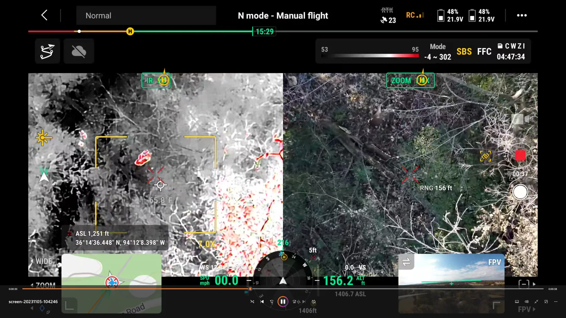
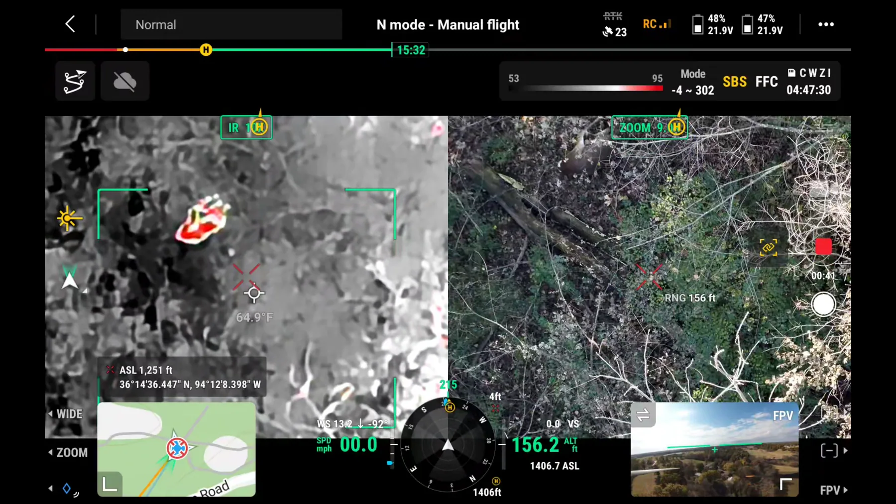
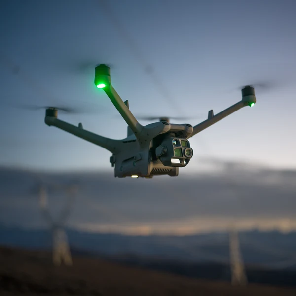
Recovery work, plus thermal herd surveys for both wildlife and livestock. Every job flies the same equipment: radiometric thermal, 7× optical zoom, laser rangefinder and GPS-tagged coordinates handed to you on the spot.
Deer Recovery
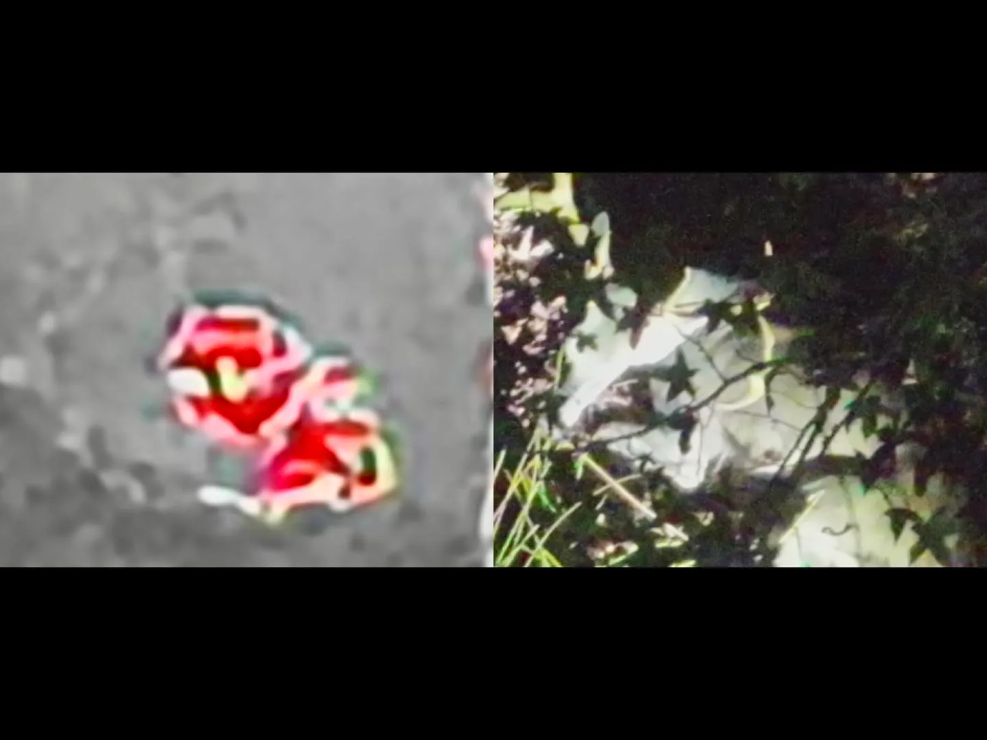
Thermal search for wounded or dead whitetail when the blood trail runs out. We grid the likely bedding cover, confirm on zoom, and walk you to the animal.
Pet & Dog Recovery
Lost dogs and cats located from the air with thermal, day or night. Fast coverage of neighborhoods, timber, creek bottoms and pasture a ground search can’t clear.
Livestock Location
Cattle, goats and horses out of the fence or missing from a wooded pasture. One flight covers what a truck and a four-wheeler can’t in an afternoon.
Hog Tracking & Spotting
Feral hogs are an invasive species, not protected game — which means thermal aircraft can legally be used to find them, not just recover them. We locate sounders on your ground, track where they are feeding and bedding, and put your crew on them.
Other Wildlife Recovery
Bear, exotics and other legally harvested animals located after the shot. If it holds heat and it’s down in cover, thermal will separate it from the background — recovery only, never locating live game for a hunt.
Property & Land Search
Aerial mapping and overview flights for landowners, timber managers and realtors — plus locating equipment, stands and boundary features.
Deer Herd Analysis
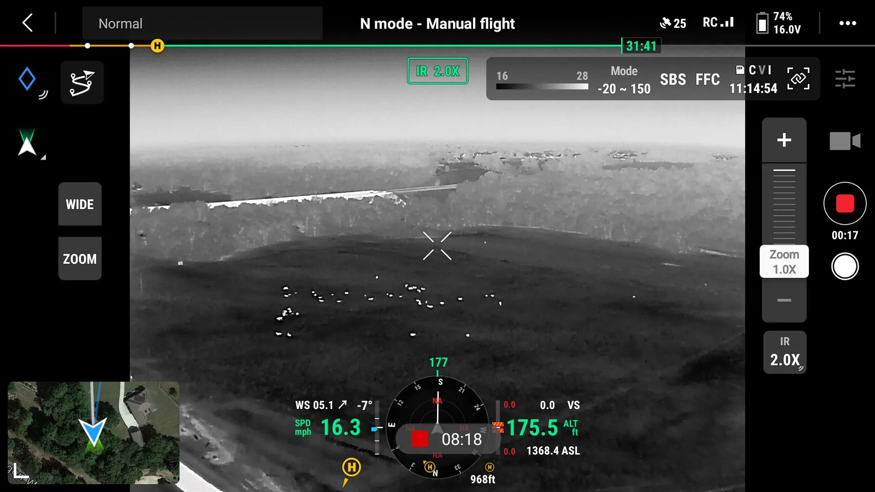
Thermal herd surveys for hunting clubs, leases and managed properties: buck-to-doe ratio, fawn recruitment, total animals using the property and where they move after dark. Repeatable counts you can manage against year over year.
Domestic Herd Inventory
Cattle and sheep counted from the air with thermal — whole-pasture headcounts in minutes, strays and separated animals flagged, calving and lambing checks without pushing the herd. Documented counts for insurance, lending and sale records.
Search & Rescue Assistance
Thermal support for families, landowners and volunteer searches looking for a missing person — elderly wandering, a lost child, a hunter who never came out. Flown at no charge when we can get there, and always coordinated with the agency running the search.
Recoveries start at $400 for three hours of searching in the primary NWA service area. Travel outside the primary area and searches that run longer are quoted on the call. Prices are set before launch — no surprise recovery fees. You are paying for the search and the flight time, and the price is the same whether or not the animal is found.
From the call to your hands on the antlers
Call or text
Tell us where you are, what happened and what the blood looked like. We’ll tell you straight whether a flight makes sense and what it costs.
Back out and wait
Stop the ground search. Every hour of pressure moves a wounded deer farther. Sit tight while the aircraft comes to you.
Thermal grid search
We fly a systematic pattern over the likely cover, separate heat signatures from background, and confirm the animal on optical zoom.
Walked to the animal
GPS coordinates dropped on the target and you get talked in from overhead — straight to the deer, no wandering the thicket.
The vast majority of our game and wildlife searches are nighttime operations. Thermal imaging works on the temperature difference between an animal and the ground around it, and that differential is strongest after the sun goes down and the ground gives up its heat. Daytime flights are possible in cold weather or open terrain, but if we schedule your search for after dark, it is because that is when it has the best chance of working — not for our convenience.
Before you call, back out
Pushing a wounded deer costs you more than waiting does. Mark your last blood, get out quietly, and call. A bedded deer is a recoverable deer.
Thermal works best after dark
Ground cools, animals stay warm, contrast goes up. Evening and overnight flights are the highest-percentage searches — that’s why we fly nights.
Have permission ready
We need landowner permission for the property being searched, plus your tag information. Recovery flights follow all state game regulations.
Three states, one home base
Northwest Arkansas is home — if you’re inside that circle, we’re usually rolling the same night. SW Missouri and NE Oklahoma are regular runs.
Northwest Arkansas
Primary · same nightBentonville, Rogers, Springdale, Fayetteville, Siloam Springs, Bella Vista, Gravette, Prairie Grove, Huntsville, Berryville, Harrison, Eureka Springs — Benton, Washington, Carroll, Madison and Boone counties.
Southwest Missouri
CoveredJoplin, Neosho, Monett, Cassville, Branson, Nixa, Springfield, Anderson and the Table Rock region — McDonald, Barry, Newton, Stone and Taney counties.
Northeast Oklahoma
CoveredGrove, Jay, Vinita, Tahlequah, Westville, Stilwell, Pryor, Claremore and the Grand Lake area — Delaware, Adair, Mayes, Ottawa and Cherokee counties.
Outside these areas? Call anyway. Long-distance searches are quoted with travel and we’ll tell you straight if it isn’t worth your money. We do not fly in Kansas. Browse service areas by town →
Our drones in action
Herd survey and inventory footage, plus flights flown to locate animals that are already down. Drones Inbound does not locate live game for hunters — using aircraft to aid in the taking of wildlife is prohibited under federal and state law. Every flight shown here is either a survey or a post-harvest search.
Drones Inbound is a full-time operation
Based in Northwest Arkansas and flying recovery missions across three states, Drones Inbound was built around one idea: a wounded animal deserves a professional search, and the person who paid for a tag deserves a straight answer.
That means certified and insured flights, purpose-built thermal aircraft instead of a hobby drone with a night filter, and a pilot who has flown these ridges, creek bottoms and cedar thickets enough to know where a hit deer beds down.
Time matters. Call first, form second.
If the animal is down tonight, pick up the phone — that’s the fastest way to get a drone in the air. The form is here for tomorrow’s hunt, pet searches and non-urgent jobs.
888-901-5150From the aircraft
Gut-Shot Deer: Why Waiting Matters Before a Thermal Search
Gut-shot deer and how long to wait before a thermal search—common hunter guidance, stay-put briefing, and why we never push, flush, or drive a gut-shot deer.
Cold Mornings and Frost: Thermal Deer Recovery in Cold Weather
Cold weather thermal deer recovery—why frost and predawn contrast help, how sunrise warms false targets, and why you should never flush or drive a wounded deer.
When to Call a Thermal Pilot vs Keep Searching Yourself
When to call thermal deer recovery: signs to keep searching yourself, signs to stop, mark, and back out, and what to have ready before you call a pilot.
Thick Cover and Canopy: How Habitat Changes Thermal Deer Recovery
Thick cover thermal deer recovery depends on the cover: leaf-off timber, cedar, pines, CRP grass, and creek bottoms each change what a thermal drone can see.