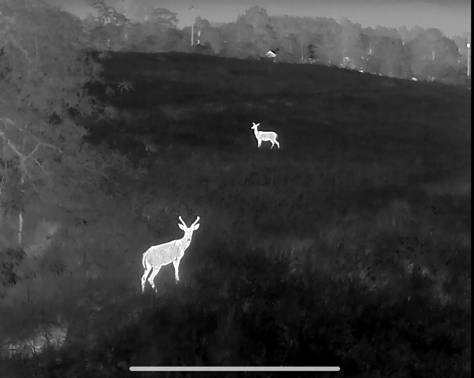
Drone deer recovery in Harrison, Berryville & the Arkansas Ozarks
Big timber, big elevation, big country. Thermal recovery and herd surveys across Boone, Carroll and Madison counties — Harrison, Berryville, Eureka Springs, Green Forest, Huntsville and Holiday Island.
Covered area · typical launch within 2–3 hours
The country where ground searches fail the most
This is the hardest walking in the region and the best case for thermal. Bluff lines, benches, hollows that drop 400 feet in a quarter mile, and timber so thick you can stand twenty yards from a dead deer and never see it. Hunters here routinely lose animals not to bad shots but to terrain that makes systematic ground searching physically impossible after dark.
From the air, none of that matters. We cover a hollow in one pass, work the benches where hit deer bed, and check the bottom of the drainage — which is where a mortally hit deer almost always ends up. Properties around Holiday Island, Eureka Springs, Green Forest and Huntsville are regular flights, and we cover the Buffalo River country when access allows.
Boone and Carroll counties also bring in a lot of herd survey work — hunting clubs and family farms wanting a real count on ground too rough to survey any other way, plus cattle inventories on wooded pasture where a truck count is a guess at best.
Towns and communities covered
Nearby service areas
Bentonville & Rogers
Fayetteville & Springdale
Fort Smith & Van Buren
Joplin & Neosho
See the full coverage map. We do not fly recovery in Kansas — it is not permitted there.
Deer down in the Ozarks?
Call or text and we will tell you straight whether a flight makes sense tonight.