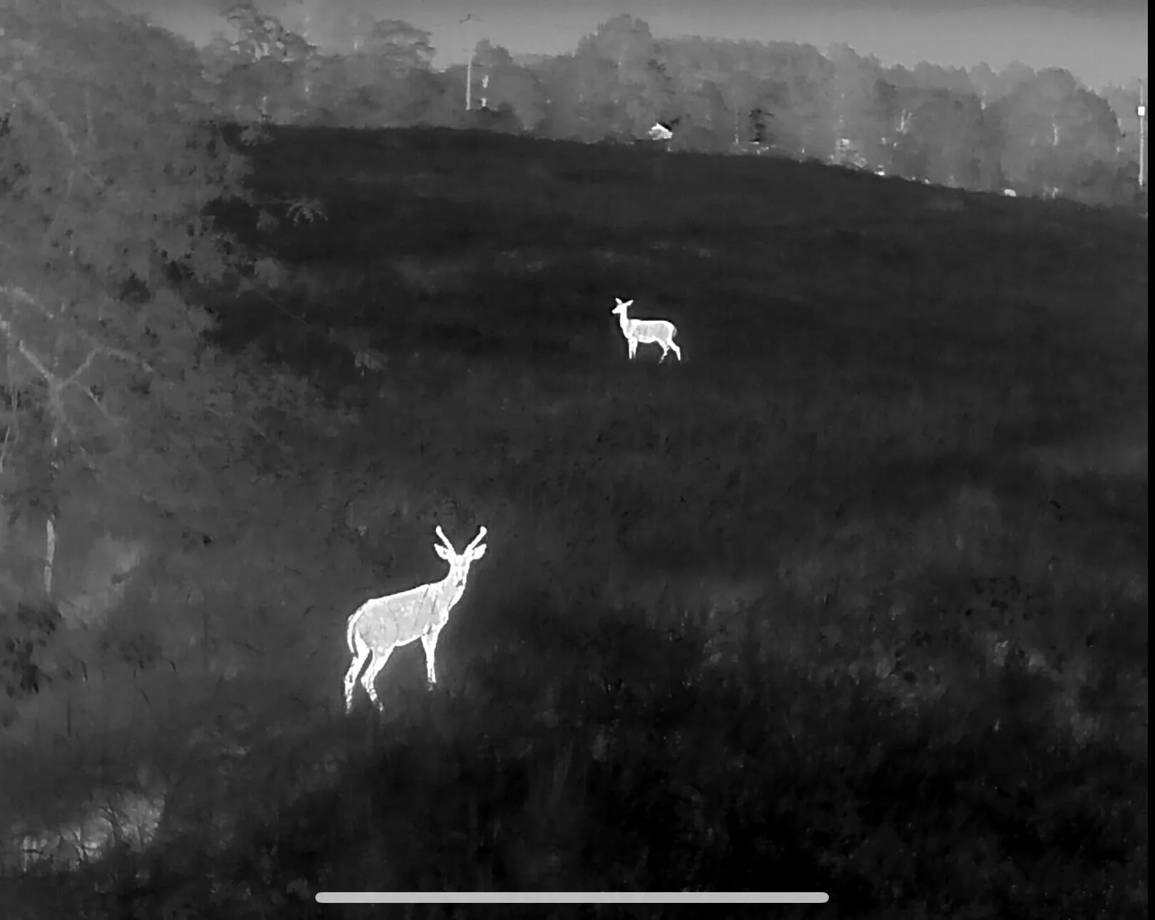
Drone deer recovery in Fort Smith, Van Buren & the River Valley
The southern edge of our Arkansas coverage: Fort Smith, Van Buren, Alma, Mulberry and the Arkansas River Valley, plus the Ozark National Forest foothills north of town.
Covered area · typical launch within 2–3 hours
River bottoms, bean fields and national forest edge
River Valley hunting is a study in contrasts. A deer shot on the edge of a bean field can run into bottomland cover so thick that a ground search is hopeless, and a deer shot on the national forest boundary north of Alma can be a mile from the nearest road before it beds. Both are strong thermal searches.
We cover Fort Smith, Van Buren, Alma, Mulberry, Mountainburg and Cedarville, plus properties running up toward the Ozark National Forest. Standing crops and thick understory are the main obstacles — thermal sees through neither, which is why we fly a tight grid and work the edges and openings where a bedded animal is actually visible.
Being at the southern edge of the coverage circle means travel is factored into the quote. You will hear that number on the phone before anyone launches, and if a flight is a low-percentage bet for your situation, we will say so.
Towns and communities covered
Nearby service areas
Bentonville & Rogers
Fayetteville & Springdale
Harrison & Berryville
Joplin & Neosho
See the full coverage map. We do not fly recovery in Kansas — it is not permitted there.
Need a search in the River Valley?
Call or text and we will tell you straight whether a flight makes sense tonight.