Drone deer recovery in Tahlequah, Stilwell & Adair County, OK
Cherokee and Adair county coverage — Tahlequah, Stilwell, Westville, Watts and the Illinois River corridor. Rough, timbered ground an hour from our base.
Covered area · typical launch within 2–3 hours
Illinois River hill country
Adair and Cherokee counties hold some of the roughest timber in Northeast Oklahoma — steep river hills above the Illinois, deep hollows, and cover thick enough that a hunter can lose a deer sixty yards from where it was hit. Ground searching that terrain at night is slow, loud and mostly futile.
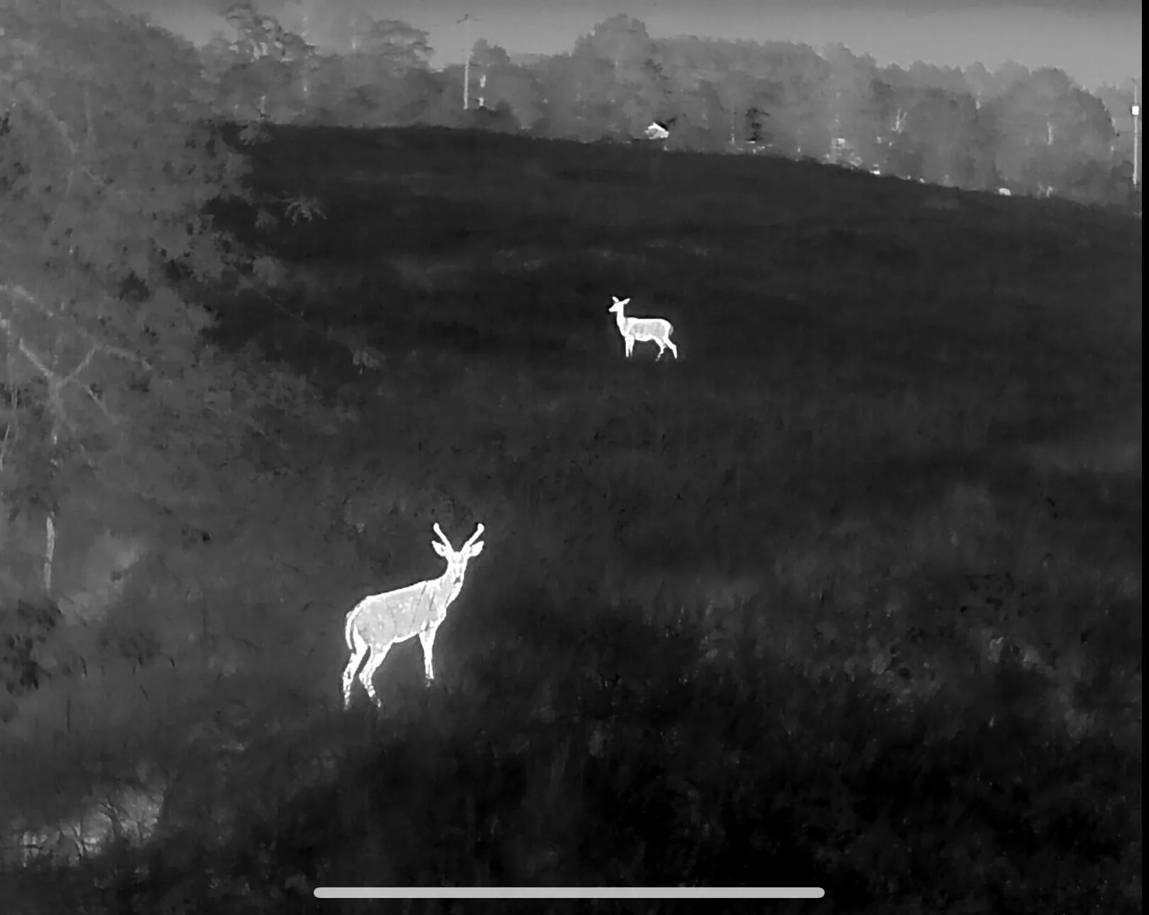
We fly Tahlequah, Stilwell, Westville, Watts, Kansas and Chewey, plus the ranch and lease ground running toward Lake Tenkiller. Thermal from altitude covers a hollow in one pass and separates a bedded deer from the background in ground where blood was gone an hour ago.
Because this is an easy run east to west from Northwest Arkansas, response times here are close to what we manage in Arkansas — often airborne the same evening. Travel is quoted on the call.
Towns and communities covered
Nearby service areas
Bentonville & Rogers
Fayetteville & Springdale
Harrison & Berryville
Fort Smith & Van Buren
See the full coverage map. We do not fly recovery in Kansas — it is not permitted there.
Deer down in Adair or Cherokee County?
Call or text and we will tell you straight whether a flight makes sense tonight.