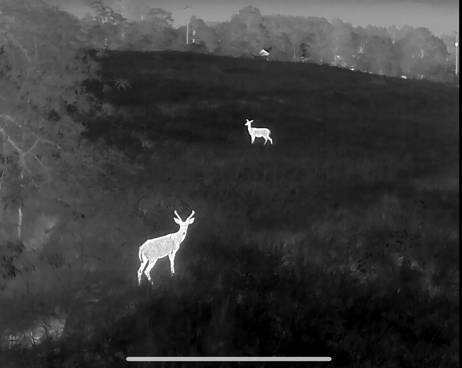
Thermal drone deer recovery
When the blood trail dies and the woods go dark, a thermal drone finds what boots and flashlights cannot. Part 107 certified, insured, and flying nights across Northwest Arkansas, Southwest Missouri and Northeast Oklahoma.
A wounded deer is a recoverable deer — if you stop pushing it
Most lost deer are not lost because the shot was bad. They are lost because the hunting party spent three hours grid-walking a thicket in the dark, bumped the animal twice, and turned a 60-yard recovery into a half-mile problem. Thermal changes the order of operations: we look first, then walk once.
Drones Inbound flies a purpose-built thermal aircraft — radiometric IR, 7× optical zoom and a laser rangefinder — with the anti-collision lighting and night currency required to fly legally after dark. From altitude, a deer that is bedded or expired shows as a distinct heat signature against ground that has cooled since sundown, in cover a ground search would take all night to clear.
On protected game this is recovery work only. Federal and state law prohibit using aircraft to aid in taking native wildlife, so we do not locate live deer for hunters and we do not fly ahead of a shot — every deer flight is after the arrow or bullet, on the animal you have already hit. Feral hogs are the one exception: as an invasive species they can legally be spotted live from the air, and we do that work too.
What the flight includes
From the call to your hands on the antlers
Call or text
Where you are, when you shot, what the blood looked like, last known direction.
Back out
Stop the ground search and sit tight. Pressure is what moves a hit deer out of the county.
Grid search
Systematic thermal pattern over the highest-percentage cover, signatures separated from background.
Walked in
Coordinates dropped and you get talked to the animal from overhead.
Other services
Pet & Dog Recovery
Lost dogs and cats located from the air, day or night, year round.
Deer Herd Analysis
Ratio, recruitment and total-animal counts for clubs and leases.
Cattle & Sheep Inventory
Documented whole-pasture headcounts flown with thermal.
Serving Northwest Arkansas, Southwest Missouri and Northeast Oklahoma — see the full coverage map or read the FAQ.
Lost blood tonight?
Call before you walk another circle. The phone is answered around the clock during deer season.